downtown

Façade Inspections in Cleveland by Drone

Why Building Façade Inspection is Needed

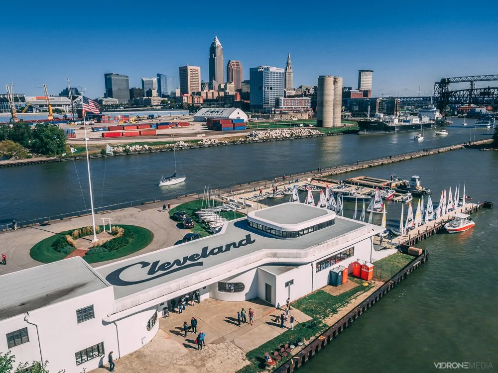
A municipal ordinance was passed in 2016 in Cleveland, Ohio, to require façade inspections for buildings of certain age and height to be completed every 5 years – see the detailed ordinance here. Since this ordinance was passed in Cleveland, 2 other major Ohio cities, Columbus, and Cincinnati followed with passing similar ordinances the same year.

As with most ordinances, Cleveland's ordinance passing was a direct consequence of an accident: a parapet wall of an 1890s-era building in downtown Cleveland crumbled, releasing several bricks onto the sidewalk and the road, thankfully without human casualties this time (a parked minivan without passengers was damaged).

The ordinance that was passed requires buildings that are at least 5 stories or 75 feet in height above grade and are of a certain age (between 30-50 years old), to be initially inspected and re-inspected every 5 years.

How was the building façade inspections performed in the past

In the past, this type of inspection was done by inspectors needing to get close to the walls to visually inspect them and document the conditions, which meant erecting and installing the scaffolding, or elevating them by another method, which gets the person close to the source of inspection, but it is not very efficient:

1.   It takes time for them to move within the scaffolding, or be elevated by a crane platform to every spot that needs to be inspected and documented

2.   It is not the safest for the person involved (a falling accident is a possibility)

3.   It can be expensive with the time and equipment involved, plus the addition of insurance costs when performing this work at dangerous elevations.

These types of inspections can be costly to complete when using traditional methods. Facade inspections can run into $10K-$20K, depending on the size of the building. The cost is usually made up by using large equipment or erecting scaffolding structures, inspectors' time that is necessary to visually inspect and document the conditions of the asset, and the report write-up within the guidelines of such inspection.

As one can see, a large proportion of the cost of such inspection is driven up by the resource and time used to visually inspect and document current conditions effectively. The use of autonomous inspection tools that don't require the investment of such resources can cut costs drastically. Drones do just that for such use cases as facade inspections.

Why Use Drone For Building Façade Inspection

A drone allows for the faster and safer acquisition of the visual inspection and documentation data of the current conditions of the façades. Equipment and personnel need is reduced to a drone capable of shooting hi-res photography, and a drone pilot who is qualified to fly safely and legally and can produce such photography.

This photographic output generated by a drone can then be viewed by a qualified design professional on their computer (engineer or architect), certified in the inspection of the specific elements that make up the façade of the structure, and licensed by the State of Ohio, or an inspection agency that is qualified under the Ohio Building Code for Special Inspectors (as per the ordinance).

In addition to basic aerial photography, drone imagery can be set up to be acquired with certain parameters (automated flight path and special photography settings) with an intent of being processed through software to generate point clouds and 3D models, that help capture the building condition overall. Such models allow the inspector to zoom in at any point for a closer look during the inspection, and even produce measurements between points for needed calculations. These models can be stored digitally and updated with a new model at any point in time.

Looking to hire a drone company for a façade inspection in Cleveland?

If a company considers hiring a drone pilot to perform a façade inspection data capture (whether the building facilities management, an inspector or agency), it will need to do its due diligence - see our article Hiring a Drone Pilot for details on how to do that, or contact us to provide you with the quote to perform façade inspection data capture by one of our skilled drone pilots.

If you want to train someone within your organization to fly drones to capture such data, check out our drone training page for drone training classes offered in Cleveland, and contact us to schedule, or sign up for our drone class notification list.

Where To Fly Drones in Cleveland

Cleveland aerial views are some of the best available in the state of Ohio!  OK, we may be a little biased since we are based in the Cleveland area. We are lucky to have an extensive lakefront with Lake Erie spanning much of the Northeast Ohio border, downtown Cleveland, and its suburbs.

Drone photo of downtown Cleveland skyline and historic Cleveland Coast Guard Station

1.     Downtown Cleveland has many scenic locations: Cleveland sports stadiums, Rock and Roll Hall of Fame, Public Square, Playhouse Square, etc. You can't beat the Cleveland skyline aerial view with Lake Erie in the background!

But be aware, if you intend to fly your drone downtown Cleveland, that Burke Lakefront Airport is located there just next to the Voinovich Bicentennial Park. Burke Lakefront Airport is in controlled (class D) airspace, requiring you to obtain FAA authorization to fly your drone within 5 miles of its location (you can read our blog post Where Can I Fly My Drone for detailed information and tutorial on FAA authorizations).

Aerial photo of Rock and Roll Hall of Fame with Burke Lakefront Airport and Lake Erie in the background

In addition, during any major league baseball (MLB) or national football league (NFL) open-air stadium games there is a Temporary Flight Restriction (TFR) that is in effect, which applies to the MLB and NFL games at the stadiums located downtown Cleveland.  TFRs can also go into effect for other reasons, such as VIP movement, which prohibits all drone flights in the area.

2.     Lakefront locations in Cleveland that offer some scenic lakefront drone photography: Lakewood Park with the Solstice Steps and Cleveland downtown skyline, Lorain Lighthouse in Lorain, and Fairport Harbor Breakwater Lighthouse in Mentor. Make sure you check municipality ordinances when you are choosing where to launch and land your drone.

Aerial view of the Edgewater Park with downtown Cleveland Skyline

3.     University Circle neighborhood of Cleveland offers plenty of scenic architectural and natural sites with Wade Oval, Cleveland Museum of Art and its lagoon, Museum of Natural History, Case Western Reserve University campus, and Little Italy nearby. Some of this area is within 5 miles of the Burke Lakefront Airport, so you may need FAA authorization to fly your drone there.

Aerial photo of Cleveland Museum of Art in Fall

4.     Unfortunately, you cannot launch and land your drone in most Cleveland Metroparks, including their lakefront locations: Edgewater Park, Wendy Park, Whiskey Island, E 55th Street Marina, East 72nd fishing area, North Gordon Park Boat Ramp, Euclid Beach Park, and Huntington Reservation Beach in Bay Village. There are several designated areas where you CAN fly your drone in the Cleveland Metroparks, see the details in their Drone Policy.

If you have any questions about flying in Cleveland and surrounding areas, need a drone project quote, or are looking for drone training classes that we provide, Contact us!

Where can I fly my drone?

I get this question all the time. Mostly when people see me fly my drone downtown Cleveland, Ohio, (and anywhere else). There is still a lot of confusion as to where you are legally allowed to fly.

There are 2 types of drone operators – hobbyists (recreational) and commercial operators (Part 107 license holders, like myself). As a reminder, drones are legally defined as aircraft, so their operations are subject to regulation by the FAA. This regulation applies to both recreational and commercial operations and ALL drone pilots are required to know the type of airspace they plan to fly in.

Commercial drone operators (with Part 107 certification) are required to learn and understand much more about operations within the NAS (National Airspace), and it is a major part of the FAA knowledge test for remote pilot certification. The same goes for the hobbyist drone pilots: as of 2021 they are required to take the TRUST test, preparation for which gives them basic information about the airspace types (see my TRUST test blog post for more information on that)

Types of United States National Airspace (NAS)

When planning a drone flight, you need to determine what type of airspace you are intending to fly in.  If it is controlled airspace (Class B, C, D, or certain areas of E) then you will need to get FAA authorization to fly in these areas.   Controlled airspace is typically found within 5 miles of an airport that has a control tower in operation. 

How can I check what type of airspace I am in?

There are several ways to check what type of airspace you are intending to fly in.  The easiest way is with an app that was developed in conjunction with the FAA, called B4UFLY. It provides drone pilots with a status indicator based on their current or planned location in relation to airspace restrictions. Of course, there may be additional restrictions, such as state and local regulations, that may not be shown on the app.

There are a variety of other apps available for drone pilots, including Airmap, UASidekick, and Aloft to name a few, which help determine the airspace type and the ability to request FAA flight authorizations through the app.

Uncontrolled airspace drone flight operations

As the name implies, you won’t need additional FAA authorization if you are in uncontrolled airspace. You are free to fly there, as long as you comply with basic drone operation rules (flying under 400’, not flying over people or traffic, and not interfering with traffic patterns of takeoff and landing areas, if near an airport).

How to get FAA Authorizations to fly in controlled airspace

If you’ve determined that you are going to be flying in controlled airspace (Class B, C, D, etc.) you must apply for an airspace authorization for altitudes below the posted UAS Facility Map grid altitudes (this applies to both recreational and commercial drone pilots)

You can get these authorizations through a variety of apps (mentioned above) that are LAANC (Low Altitude Authorization and Notification Capability) service providers, which were developed in collaboration with the FAA and the industry.

If you are unable to get authorization through the LAANC network, you will have to get authorization through the FAA DroneZone.

You can probably figure out where to go from here with the information and the links I provided, but if you want more detail and are more of a visual learner, I uploaded a video tutorial on getting drone flight authorizations through the LAANC and DroneZone on my V1DroneMedia YouTube channel.

Can I get an FAA Authorization through the DJI Fly Safe Website?

No, getting an FAA Authorization is a separate step from unlocking a DJI Fly Safe No Fly Geo Zone. I explain the difference and give the tutorial on how to unlock the DJI Fly Safe No Fly Zones in my What is DJI Fly Safe blog post.

Can I fly my drone downtown Cleveland?

If you are specifically looking to fly downtown Cleveland (since I am local, I will elaborate on this subject), you will most likely be flying in Class D (controlled) airspace. This controlled airspace exists due to Burke Lakefront airport being located in downtown Cleveland and encompasses a 5 miles radius around the airport.  You will need to check the LAANC system to determine if the specific spot you are looking to fly in is within that controlled airspace and if so, you will need to get an FAA authorization to fly there. Simple, right? 

Something else to be aware of when flying downtown Cleveland is the fact that there may be TFRs (Temporary Flight Restrictions) in effect – typically in effect if there is a Cleveland Indians game – TFR prohibits any drone flying during that time.

I have a few spots I tend to fly at often around Cleveland, and you can read my post Where To Fly Drones in Cleveland to learn where that is.

I hope you have a bit more clarity now about flying at your desired location. Comment here or on my YouTube video if you’ve found this helpful, and contact me if you have more questions or have a topic in mind that you’d like to learn more about. Have a safe flight!